
7Nov
Path of the Clouds - from Quebrada del Toro to Quebrada de San Lorenzo - Salta
One of the most important routes in northern Argentina
- DateJuly 29, 2027
- Duration4 days
- Meeting PointSalta
- DifficultyIntermediate
- Availability8 spots
The trip
Modality
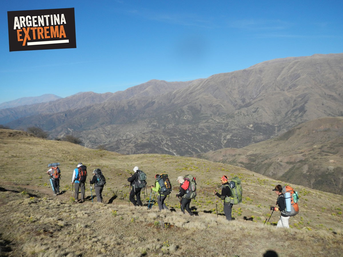
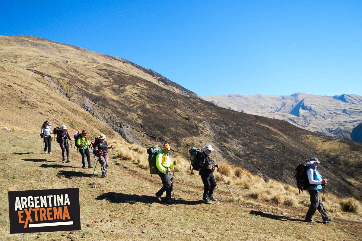
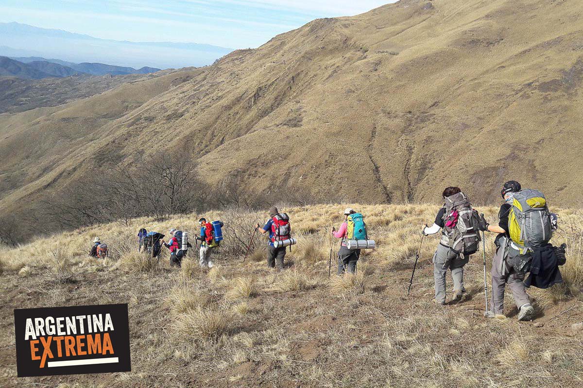
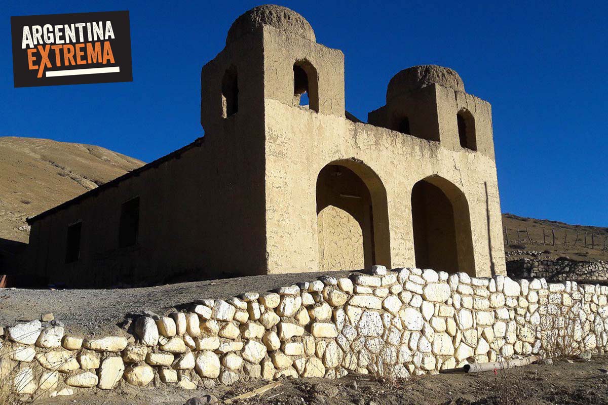
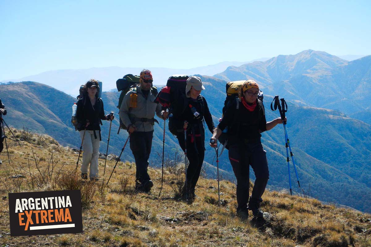
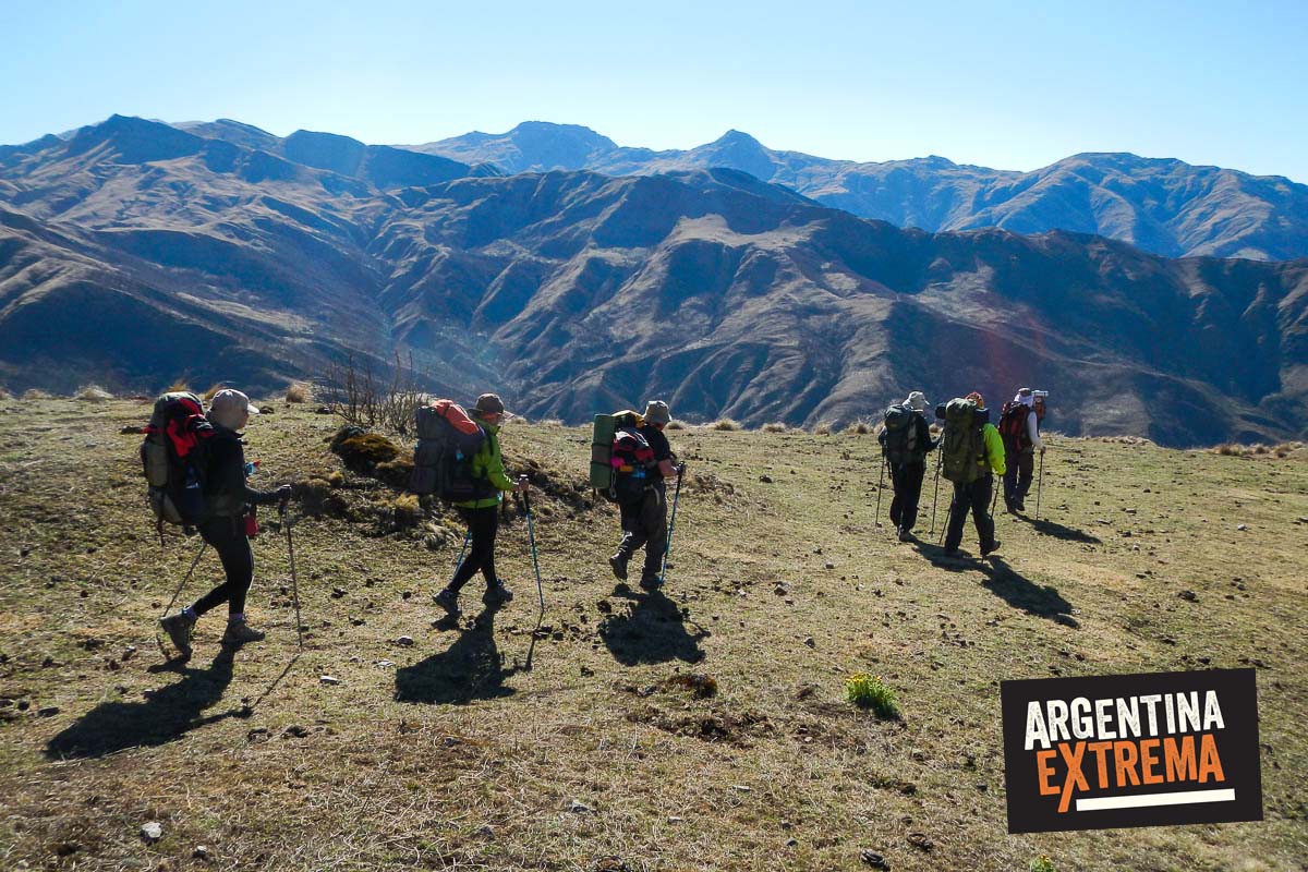
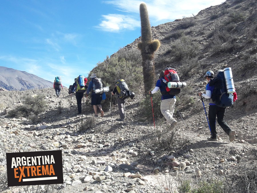
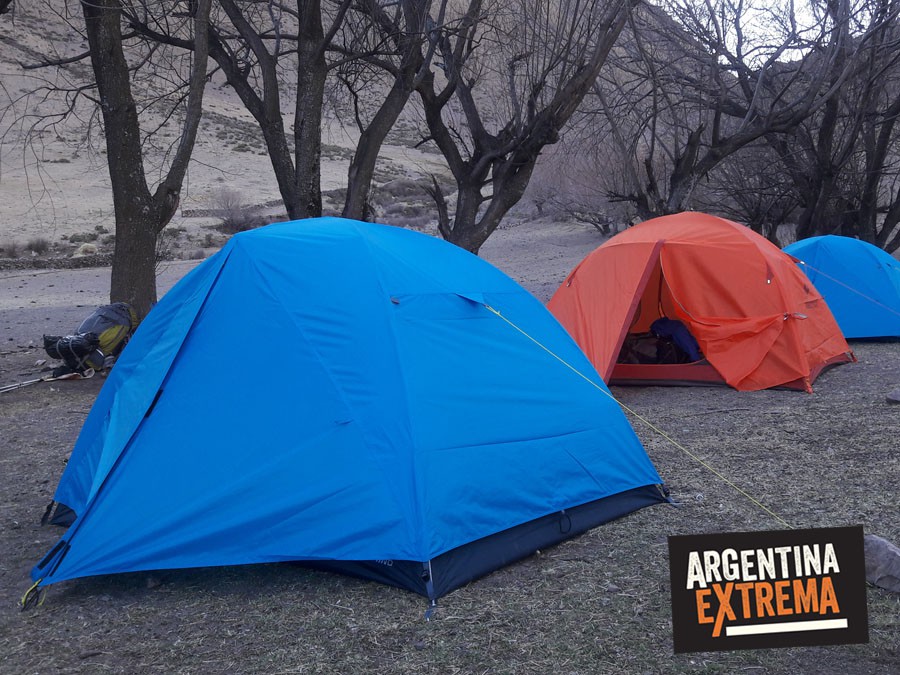
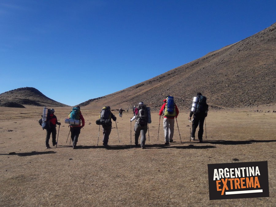
Expedition with a backpack on the shoulder, in the crossing mode (joining two different points of a region). The overnight stays, in wild areas, are in tents (occasionally in schools or churches, depending on the town that is visited). Carrying equipment on horseback and mules.
Itinerary
Arrival in Salta
Participants must arrive in Salta one day before the trek begins. Equipment check and meeting with the guides will take place the day before at approximately 5:00 PM.
Accommodation in Salta is not included (recommended hostel available).
Day 1: Salta – Incahuasi Valley
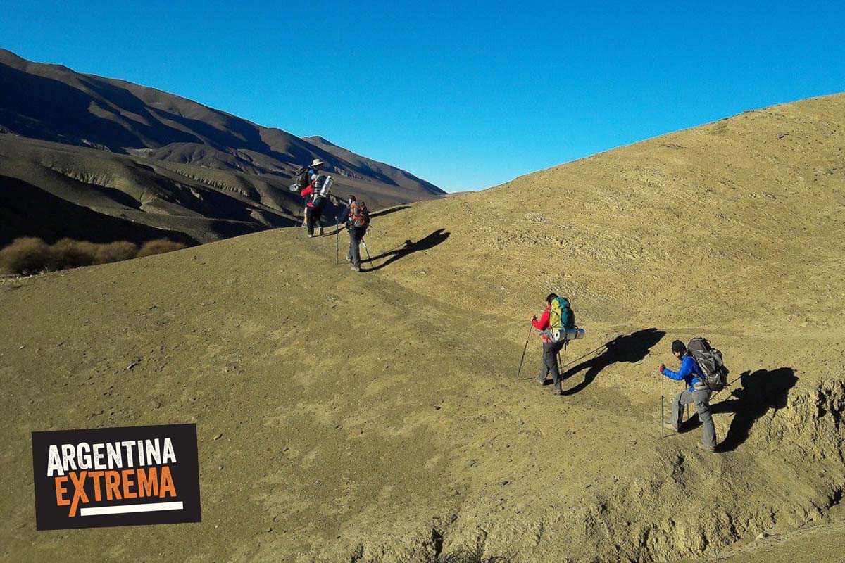
Transfer from Salta to Incamayo in the Quebrada del Toro. We begin the trek and the first section of the route, ascending through mountain slopes and valleys toward the north. We will cross high mountain passes above 3,500 m.a.s.l. before reaching the Incahuasi Valley, where our first campsite is located.
Rest and overnight camping.
- Trek start: 2,280 m.a.s.l.
- Trek finish: 3,000 m.a.s.l.
- Distance: 20 km
- Duration: 8–9 hours
Day 2: Abra de la Cruz
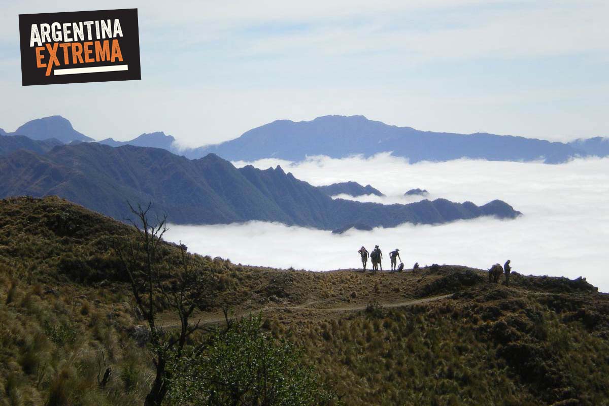
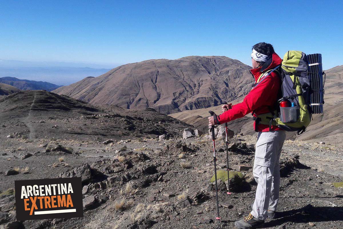
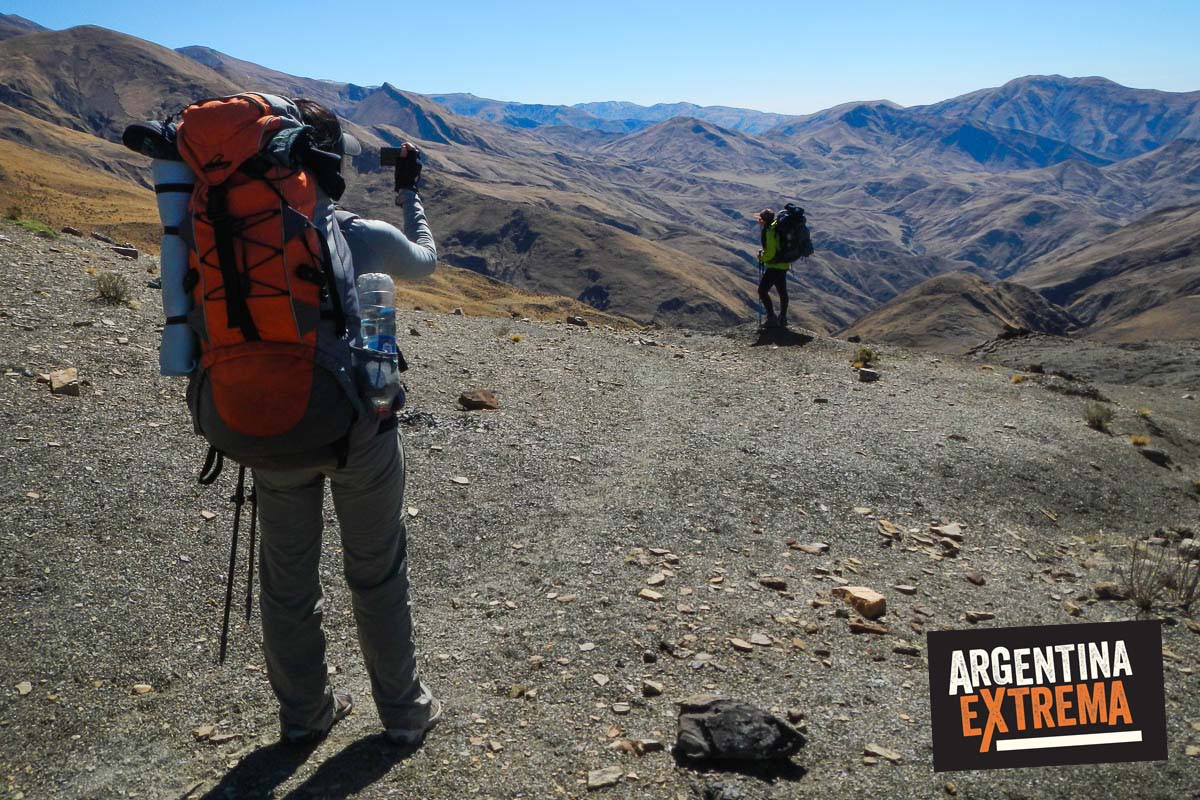
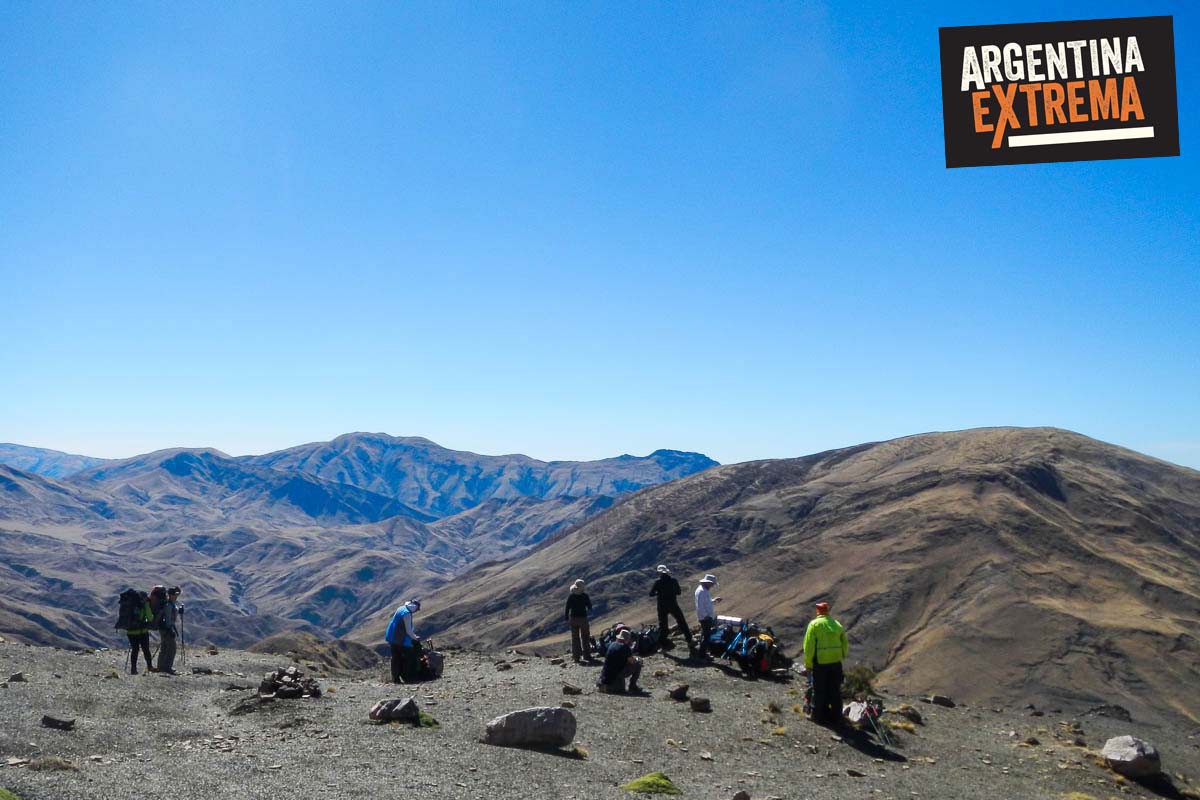
On this day, the trail takes us above 3,000 meters. At Abra de la Cruz (3,410 m.a.s.l.), one of the most spectacular views of the entire journey unfolds before us. From this point, high above the clouds, it is possible to see the entire Lerma Valley and the city of Salta.
The trail then descends to our second campsite, located near local residents who maintain small-scale agricultural and livestock operations. Here, we will have the opportunity to share experiences and learn about the lifestyle of the current inhabitants of the region.
Overnight camping.
- Trek start: 3,000 m.a.s.l.
- Trek finish: 2,890 m.a.s.l.
- Distance: 16 km
- Duration: 7–8 hours
Day 3: Into the Yungas
The trail now brings us closer to the humid environment characteristic of the Yungas cloud forest. Leaving camp behind, we begin our descent. The scenery here is completely different from the landscapes of the previous two days.
The trail continues with a gentle descent until reaching the confluence of two mountain rivers. From there, we follow the river upstream before entering the Yungas. The route begins with a gradual climb that becomes steeper toward the end of the day.
Overnight camping.
- Trek start: 2,890 m.a.s.l.
- Trek finish: 2,280 m.a.s.l.
- Distance: 12 km
- Duration: 6–7 hours
Day 4: San Lorenzo Gorge – Return to Salta
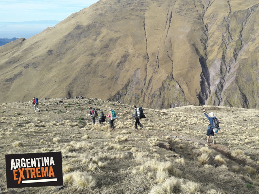
We begin the final day of our journey, fully immersed in the Salta Yungas. The trail leads us through beautiful landscapes on our way toward the city of Salta. Walking along mountain ridgelines, we will enjoy the region’s characteristic flora and fauna while occasionally encountering local residents who raise livestock in these remote areas.
The final section of the trek takes us to the foothills of the city, arriving at the San Lorenzo Gorge. Upon arrival, we will share a few drinks before concluding the trip and returning to Salta by private transfer.
Approximate arrival in Salta: 7:00 PM. End of program.
- Trek start: 2,280 m.a.s.l.
- Trek finish: 1,550 m.a.s.l.
- Distance: 18 km
- Duration: 8–9 hours
Good to know
Trekking of the Clouds - El Qhapaq Ñan, the route of the Incas
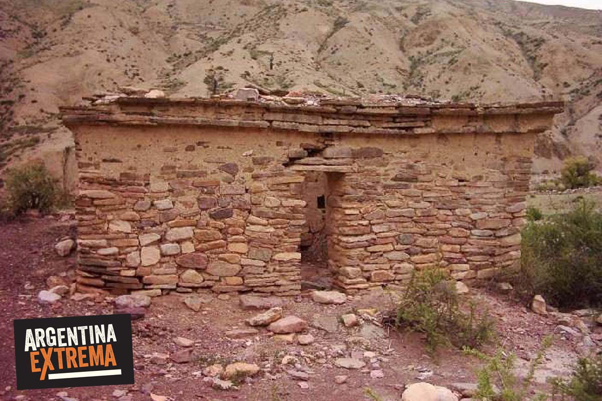
Backbone of the political and economic power of the Tawantisuyo -the Inca empire- the road network of the Tahuantinsuyo, or the Qhapaq Ñan (in Quechua = path of the King or of the powerful) was a network of roads of more than 30,000 kilometers long that connected production, administrative and ceremonial centers. Recently declared a World Heritage Site by UNESCO, the Qhapaq Ñan (in Quechua, “main road”) today crosses six Andean countries. Starting from Peru to the south, it covers part of the territories of Bolivia, Argentina and Chile and to the north, those of Ecuador and Colombia. These roads allow us to trace the footprint left behind by the Andean peoples, their armies and priests, their merchants and caravans of llamas that transported merchandise. In the north of Argentina, one of the sections of the Qhpaq Ñan is the one we make on this journey, in the Quebrada del Toro area, Salta.
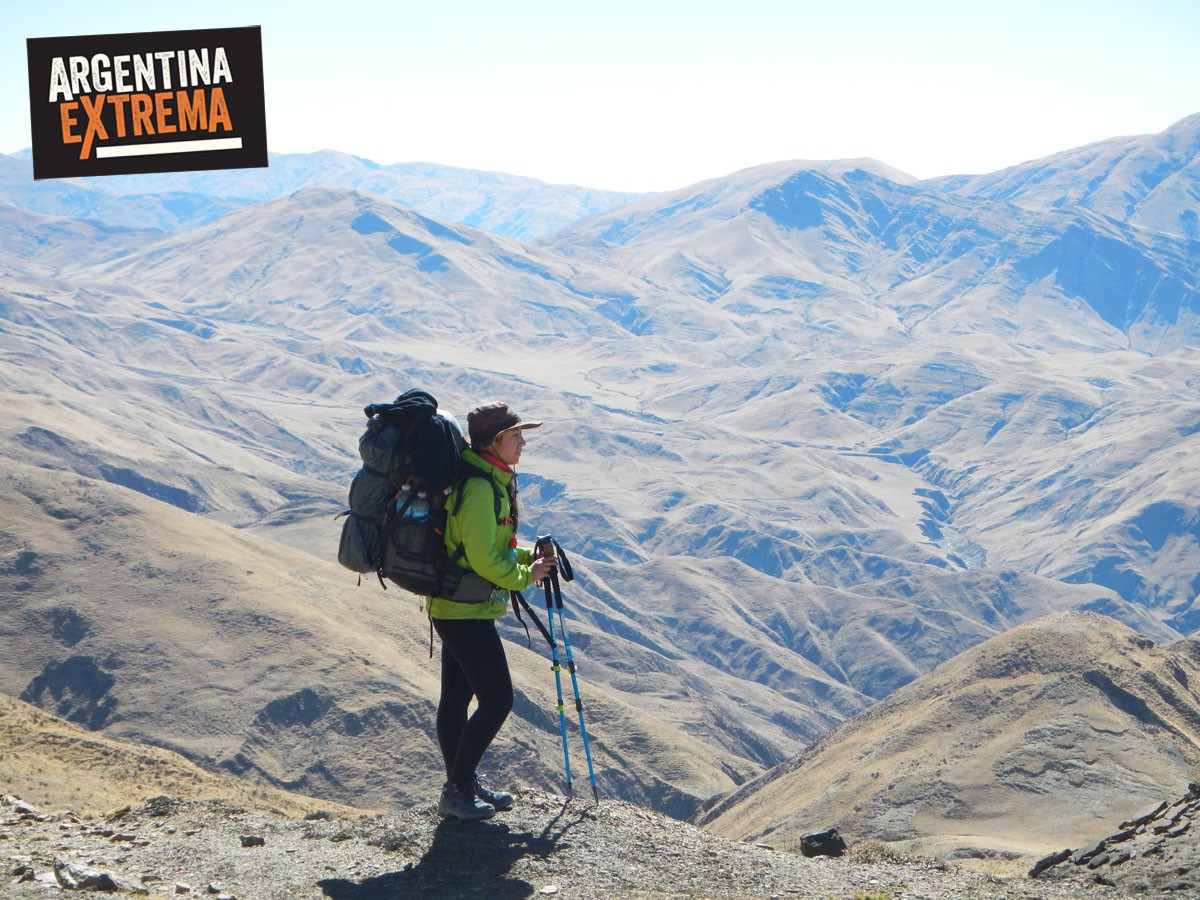
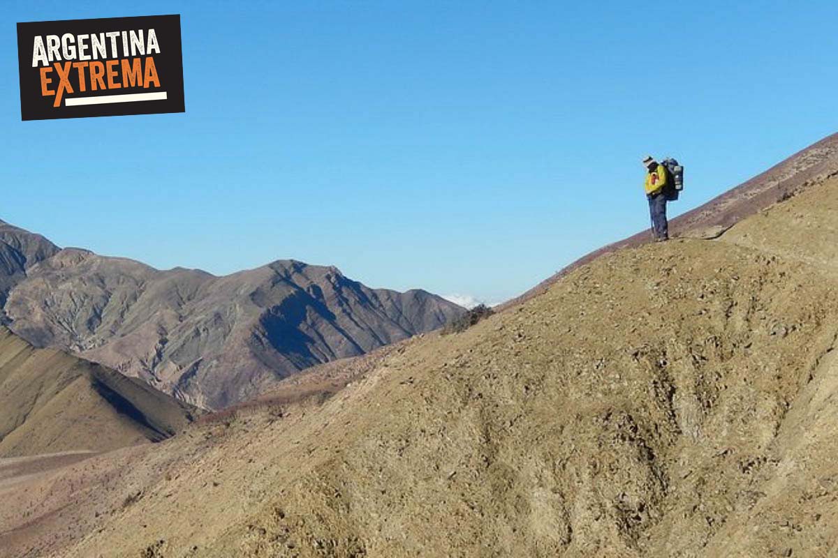
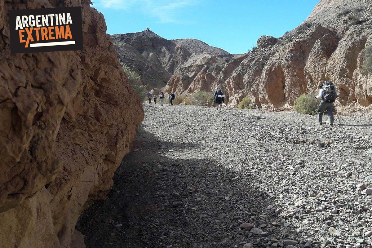
It is a journey on foot, backpack on the shoulder, through ancestral trails, slopes covered with cardones, communities nestled in the mountains, terraced crops and deep valleys. The Pascha community lives in these places, the simplicity of its people and the imposing landscapes make this experience unforgettable. The circuit begins in the puna, on the way to San Antonio de los Cobres, where the horizon becomes infinite. Our adventure ends in the alder forests of the greenest part of Salta, after having crossed mountain ranges of 4000 meters. with valleys, streams, communities, hamlets and old-fashioned posts that transport us back in time.
What is included
- Internal transfers from Salta (starting and ending place of the trekking)
- Full board, non-a la carte menu, from lunch on day 1 to lunch on day 5. (4 daily meals: breakfast, lunch, snack and dinner). - Includes snacks.
- Carrying equipment with horses and mules. Baqueanos
- Wild camps and accommodation in towns (schools, churches, etc., depending on the population we visit)
- Tents
- General camping logistics (pots, heaters, security elements, orientation).
- Guides and permanent coordination.
- Assistance before and during the hike.
Not included
- Accommodation in Salta (ask us for info or reservations)
- meals on Salta
- trip to Salta
Recommended gear
EQUIPO GENERAL
- Mochila especial para trekking (65 a 85 litros)
- Bolsa de dormir abrigada( mínimo –10 grados confort) (ej. 700gms o 1 Kg. de pluma o sintético bueno).
- Colchoneta aislante (10 a 15mm).
- Bastones de Trekking
CALZADO
- 1 botas de Trekking
- 1 segundo calzado de trekking liviano
INDUMENTARIA
- Un par de mudas de ropa interior
- Varios pares de medias de trekking (algunas pueden ser de primera piel-interior-finas)
- 1 par de medias de lana (abrigo para dormir)
- 2 Camisetas-remeras de polipropileno (tipo dry fit) o similar (no algodón) para caminar
- 1 camiseta de manga larga tipo térmica
- Pantalón de interior (tipo calza o calzoncillo largo) de abrigo
- Pantalón de trekking. Liviano-secado rápido
- 2 prendas de abrigo intermedias (polars de manga larga)
- Gorro de abrigo (polar o lana sintética)
- Gorra para sol (con solapas)
- Pañuelo para el cuello
- Guantes de abrigo
- Campera impermeable-cortaviento (ultrex o gore tex o similar)
ELEMENTOS PERSONALES
- Pasaporte, cédula, DNI.
- Seguro médico, obra social.
- Ficha médica y personal completa
VARIOS
- Linterna FRONTAL con baterías (baterías de repuesto).
- Bolsas plásticas resistentes para guardar ropa.
- Vajilla personal (plato, jarro y cubiertos).
SALUD & HIGIENE
- Lentes para sol con protección uv categoría 4. (IMPORTANTE)
- Botiquín personal (medicación con la receta pertinente).
- Pantalla solar, Protector labial
- Jabón, shampoo (chico para compartir) y toalla pequeña.
Otros
- Papel higiénico. Pañuelos. Toallitas para bebé.
- Recipientes para agua para 2 litros como mínimo ( puede ser botella plástica) , Camelback, Nalgene o similar
OPCIONALES, no obligatorio (ver espacio y peso)
- Cinta SILVER TAPE, para ampollas y reparaciones.
- Mate, bombilla y yerba.
- Termo de acero.
- Pastillas potabilizadoras.
- Mini - costurero.
- Largavista, monóculo. Equipo fotográfico o video.
- Libro, Libreta, diario de viaje, lápiz, lapicera.
- Juegos; naipes, dados, etc
- Cortaplumas
- Campera de abrigo
FAQ
¿Cuantas horas se caminan por dia?
En general tenemos un sistema de caminar unas 3 o 4 horas por la mañana; hacemos una gran parada de almuerzo y caminamos otro tanto por la tarde hasta el lugar donde armamos el campamento.
¿Que temperaturas hay que soportar?
El norte argentino se caracteriza por poseer una importante amplitud térmica (calor durante el dia y fresco en las noches y madrugadas). También allí existe el denominado “Invierno Boliviano”. Esto significa que en el verano nuestro (Diciembre a Marzo) allí es temporada de lluvias. En el invierno nuestro no llueve pero la amplitud térmica se hace notar un poco más y el frío en las noches y madrugadas puede hacerse sentir, sobre todo en los campamentos de altura (a más de 2500 msnm) como dos de este recorrido.
Hay que protegerse mucho del sol con sombrero-gorro, pañuelos para el cuello, protector solar y lentes de montaña. Y para la noche es importante contar con buena bolsa de dormir y abrigo ya que la temperatura puede descender a menos de 0° centígrados.
¿Que bolsa de dormir me conviene llevar?
Las bolsas o sacos de dormir deben poder soportar una temperatura de 0° Confort, como para poder descansar tranquilos. La de material de divet-pluma de ganso son las mejores, pero las sintéticas hoy en día también poseen materiales modernos y de grandes prestaciones. Se pueden alquilar.
¿Hay algo que me puedas comentar del grupo? ¿Cuántos somos, edades, etc.?
En general se trata de grupos muy heterogóneos (todo tipo de gente). Edades y sexos variados, gente que viaja sola, acompañada por algún amigo/a, parejas, familias, etc.
¿Con qué estado físico debo contar como para poder realizar este tipo de travesías?
No es determinante que seas un deportista actualizado y que entrenes 4 veces por semana. Pero sí es importante que sepas que cuanto mejor físicamente te encuentres siempre va a ser mejor. La idea de estas aventuras es que ustedes puedan disfrutarla y no padecerla. Si no solés entrenar, salir a correr, hacer bicicleta u otra actividad aeróbica te recomendamos que te acerques a alguna clase de nuestros entrenamientos semanales asociados a las actividades de montaña. Y sino que empieces por salir a caminar con mochila cargada de no menos de 8 kilogramos y realices varios kilómetros por semana y también subas y bajes escaleras o pendientes en series de 20 minutos ininterrumpidos. Solicitanos un plan de entrenamiento adecuado.
¿Tengo entendido que las carpas se comparten, no? Es necesario que lleve una?
Las carpas están incluidas dentro del programa, por parte de nuestra empresa. Pero si vos querés traer una, podés hacerlo. Solo consultanos.
¿Que comemos?
En todas nuestras expediciones brindamos el servicio de comidas EN PLAN PENSION COMPLETA.
Almuerzos de marcha (comidas frias): Sandwiches de milanesa y tomate, Sandwiches de fiambre, picadas, ensaladas, tapas, etc.
Cenas: Guisos de verdura-panceta-chorizo colorado, Cazuelas de pollo y verduras, Pastas con salsas varias o estofado, Carne asada (Chivito), Chaw Fan, Pollo con arroz a la cacerola....
Desayunos y meriendas: Te, Café, Capuchino, Mate Cocido, Mate, Leche en polvo; pan, galletitas, mermelada, miel, dulce de leche; cereales, fruta.
Difficulty graduation
Backpack weight60%
Physical60%
Technical20%
Mental40%
Altitude60%
Scale 0–100%. Argentina Extrema graded difficulty system. How it is measured
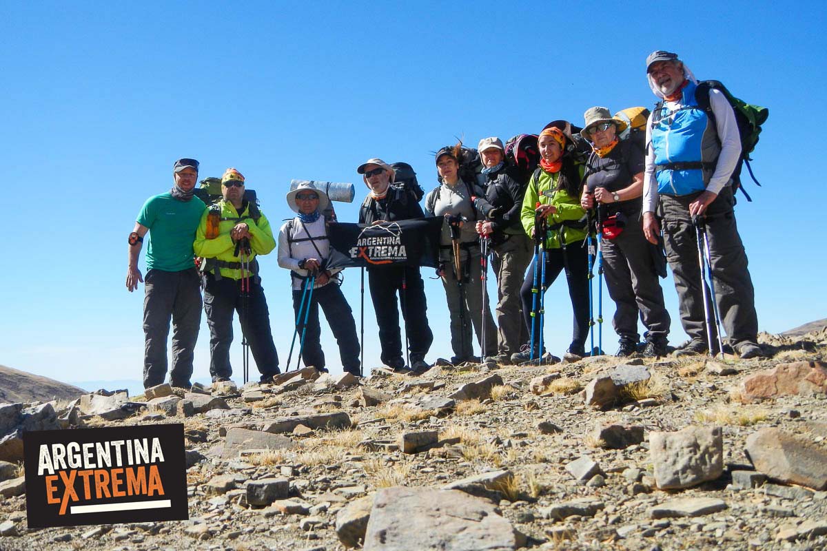
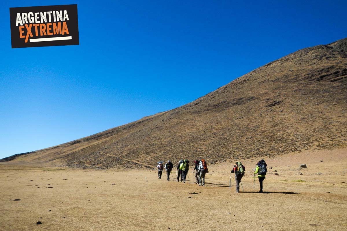
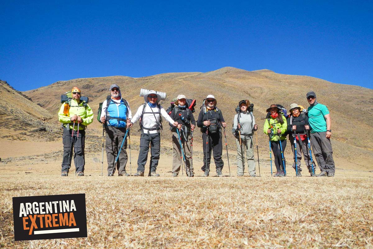
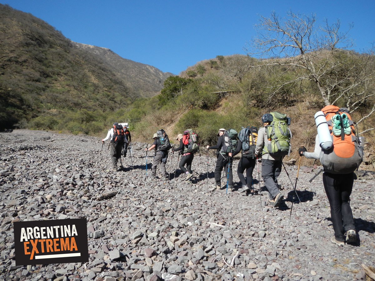
Photos and videos
Request your place
We will reply by email or WhatsApp with full details, payment options and how to confirm.
You may also like

21Nov
Trekking · Buenos Aires
Trekking in Los Gigantes, Sierras Grandes, Córdoba
- 3 days + trip
- Intermediate
- 2 spots

22Nov
Trekking · North Argentina
Trekking Tafi del Valle - El Siambón, Tucumán
- 4 days + trip
- Intermediate
- Full