• Approximate : 7/8 hours
• Total distance: 18 km
• Maximum height: 3,800 m
• Initial height: 2,400 m
• Final height: 3,600 m
• Accumulated ascent: 1,654 m
• Accumulated descent: 405 m
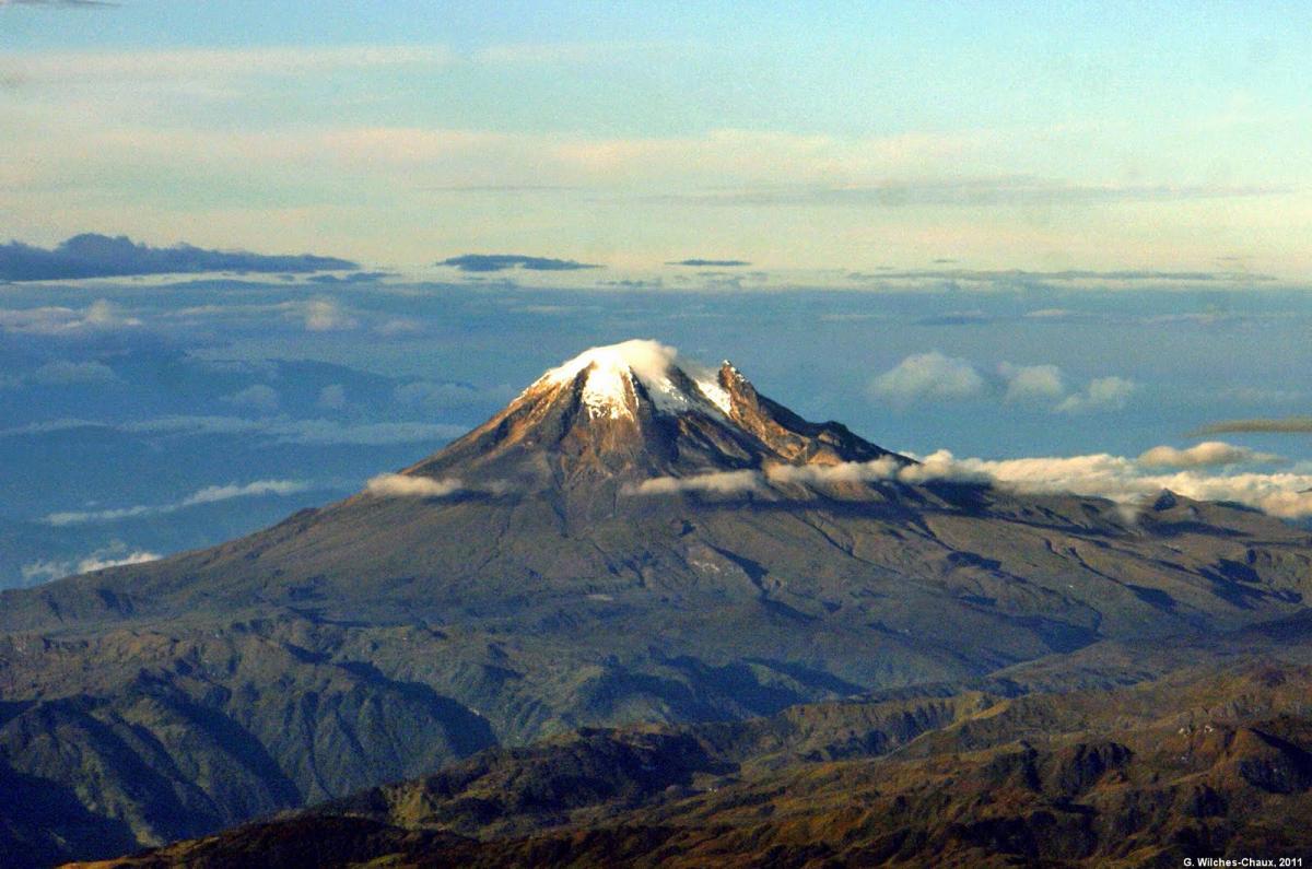
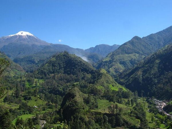
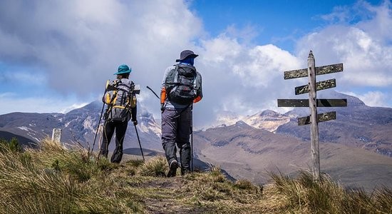
Day 5: 8:00 am After having rested at 3700m, we will have breakfast and start our ascent to the “Base Camp”. The Nevado del Tolima will always be present in these 9 km of easy ascent. At the beginning we will take a valley for 1 hour until we come across the mountains from where you can see the beautiful Laguna del Encanto, a wetland that gives birth to the Totare river at 4,000 m. the camp is located at 4,350 m at the base of the mountain. In the afternoon, a technical talk will be given on the use of mountain equipment.
• Approximate walking time: 4 hours.
• Distance: 8 km
• Initial height: 3,700 m
• Maximum height: 4,350 m
• Final Height: 4,350 m
• Positive slope: 700 m
• Negative slope: 50 m
Day 6: 2:00 a.m. Breakfast. This day we visit 3 zones
• Sandbanks/moraines (4,350 m-4,750 m) have a steep slope from the start of the hike. 1 hour ascent.
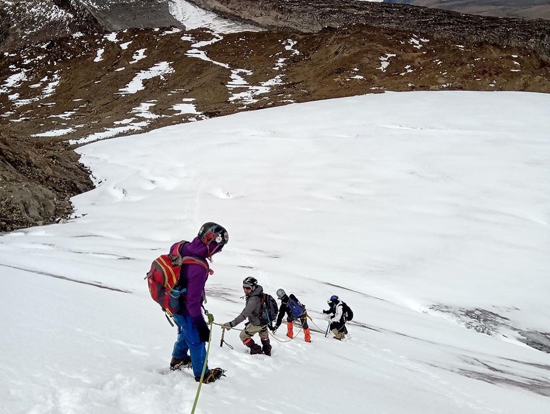
• Rock area/old Glacier (4,750 m-4,950 m). This area contains rocks discovered by glacial retreat. We will cross some steps with the security of the helmet, the harness and the rope that the guide will carry. 1 hour ascent.
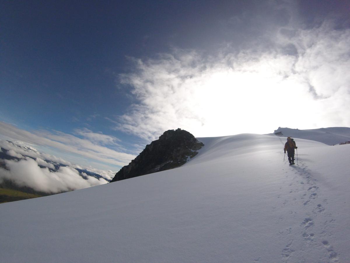
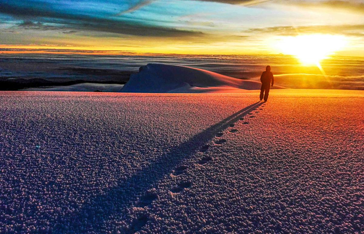
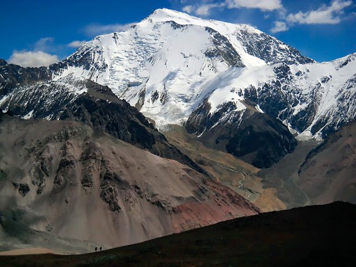
• Glacier/peak (4,950 m-5,220 m) Glacier area with moderate slopes. It is not a technical promotion but a physical one. Very low temperature on the glacier edge while preparing the personal equipment. On the glacier, sunglasses and sunscreen are very important. "Glacier Shimmer"
After our ascent to the top of the Nevado del Tolima, we will return to our camp where we will have lunch, there the guides will be sending the equipment on the pack mule to start the descent to the mountain refuge.
• Approximate walking time: 9 hours.
• Distance: 18 km
• Initial height: 4,350 m
• Maximum height: 5,220 m
• Final Height: 3,700 m
• Positive slope: 900 m
• Negative slope: 1,550 m
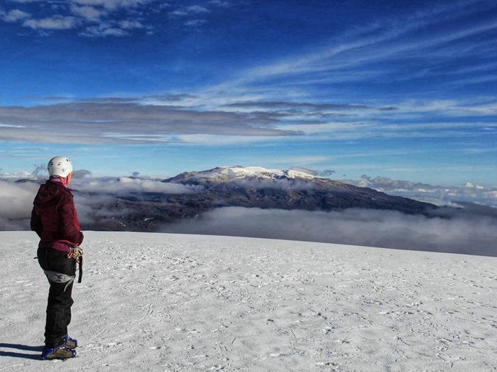
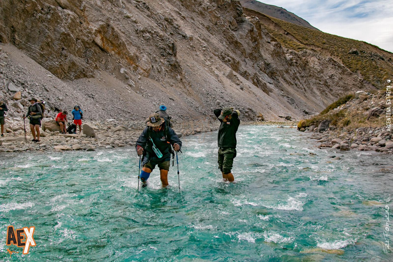
Day 7: 8:00 a.m. Last day, ascent of moderate slope until reaching the blade of the "Línea", point where the waters of the Cárdenas River divide into the great Cañón de amarguras. You can see the Paramillo del Quindío, an extinct glacier. descent to the canyon and we pass by the river that is born in the wetlands of Quindío, then we will ascend to the mountain refuge that has been abandoned by its peasants "Buenos Aires". From there you descend to the Argentina farm, lunch. Later and again in the Andean jungle, we appreciate the beauty of another mountain area with a lot of biodiversity. 3 ascents mark the final road to the back of the Cocora Valley where we will take our vehicle to Salento. Overnight.
• Approximate total time: 7 hours
• Total distance: 19 km
• Maximum height: 3,900 m
• Initial height: 3,700 m
• Final height: 2,400 m
• Accumulated ascent: 650m
• Accumulated descent: 1,950 m
Day 8: Breakfast and end of the program.