June 12, 2026 · Leandro Scheurle
In Europe, the term Grande Randonnée or GR trail refers to a route belonging to a European network of trails, found mainly in France, Spain, Belgium and the Netherlands. Designed for hikes of more than two days, they are generally longer than 50 kilometers. They're usually marked with a distinctive symbol consisting of a white stripe over a red one, typically painted on tree trunks,
In Argentina, no such network has been created yet, but there are some initiatives already underway or partially completed, such as Huella Andina and other trail networks in different regions.
In this article we present, from one end of Argentina to the other, a selection of routes with GR-like characteristics but within our own geography, which I currently consider, for various reasons, the most appealing and complete, weighing factors such as trail marking, diversity, and scenic-cultural beauty.
To enjoy on foot, with backpack, tent and all the gear that the most demanding and wonderful trekking can require.
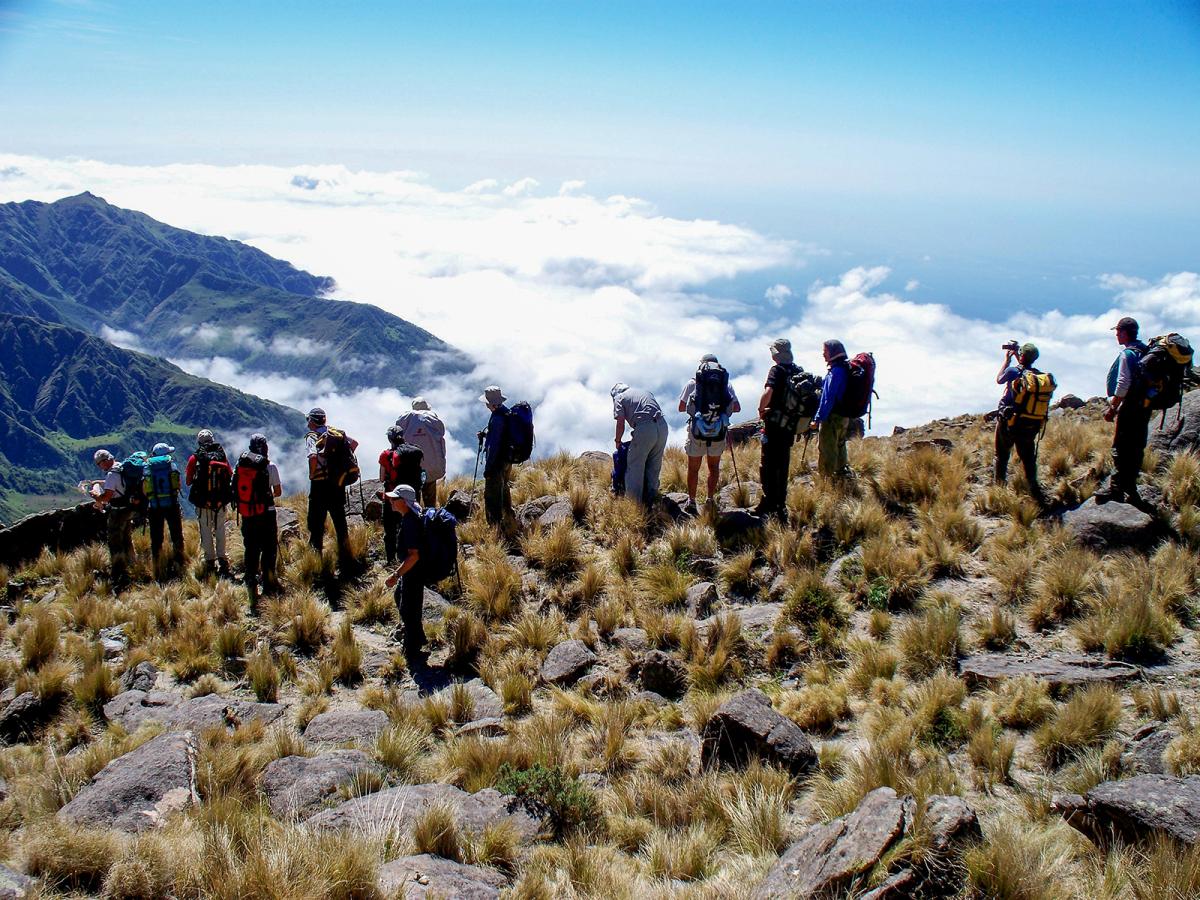
- Region: NOA (Northwest Argentina)
- Province: Catamarca and Tucumán
- Distance: 85 km
- Type: crossing
- Overall elevation: 2260 m ascent - 4060 m descent
- Starting point and elevation: 2600 masl (Estancia El Tesoro, Catamarca)
- Highest point and elevation: 4860 masl (Abra del Inca, provincial border and entrance to Campo de los Alisos National Park)
- Ending point and elevation: 800 masl (Río Jaya crossing, national park entrance)
- Estimated duration: 8 days
- Difficulty: High
- Difficulty in detail: M3-F4-T2-P3-A4
- Access to starting point: Santa María, Catamarca.
- Organized program: CLICK
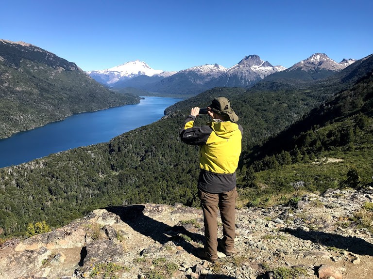
- Region: Patagonia
- Province: Río Negro
- Distance: 65 km
- Type: crossing
- Overall elevation: 1165 m ascent - 1130 m descent
- Starting point and elevation: 815 masl - North end of Lago Mascardi (Route 40)
- Highest point and elevation: 1980 masl (Filo del Capitán)
- Ending point and elevation: 850 masl (Pampa Linda)
- Estimated duration: 7 days
- Difficulty: High
- Difficulty in detail: M4-F3-T2-P3-A1
- Access to starting point: San Carlos de Bariloche.
- Organized program: CLICK
Variants:
- 5 Lagoons or "Colonia Suiza to Pampa Linda" / Waypoints: Laguna Cretton - Laguna Illón
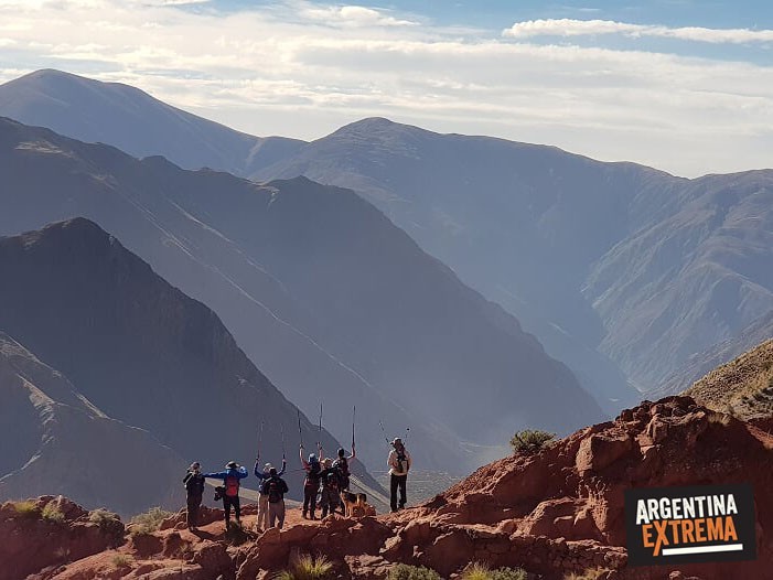
- Region: NOA
- Province: Salta
- Distance: 70 km
- Type: crossing
- Overall elevation: 1165 m ascent - 1130 m descent
- Starting point and elevation: 2700 (Iruya)
- Highest point and elevation: 3350 masl (Abra del Sauce, upper)
- Ending point and elevation: 3070 masl (Nazareno)
- Estimated duration: 5 days
- Difficulty: Medium
- Difficulty in detail: M2-F3-T2-P2-A2
- Access to starting point: Iruya.
- Organized program: CLICK
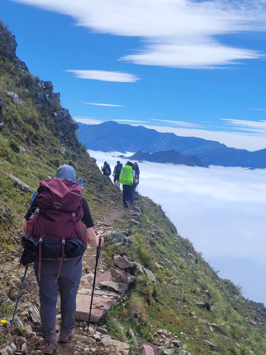
- Region: NOA
- Province: Jujuy
- Distance: 65 km
- Type: crossing
- Overall elevation: 1165 m ascent - 1130 m descent
- Starting point and elevation: 1250 (Peña Alta)
- Highest point and elevation: 4050 masl (Abra del Hornocal)
- Ending point and elevation: 2450 masl (Tilcara)
- Estimated duration: 5 days
- Difficulty: Medium-High
- Difficulty in detail: M2-F3-T1-P2-A3
- Access to starting point: Salta / San Salvador de Jujuy
- Organized program: CLICK
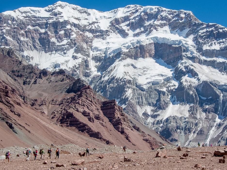
- Region: Cuyo
- Province: Mendoza
- Distance: 110 km
- Type: Loop / crossing
- Overall elevation: 1165 m ascent - 1130 m descent
- Starting point and elevation: 2400 (Punta de Vacas)
- Highest point and elevation: 6000 masl (Cólera Pass)
- Ending point and elevation: 2950 (Horcones)
- Estimated duration: 14 days
- Difficulty: Very High
- Difficulty in detail: M3-F5-T3-P5-A5
- Access to starting point: Mendoza city
- Organized program: Long Aconcagua Trek CLICK
Variants:
- Short trek / Waypoints: Confluencia / 4 days / Difficulty: Low / Type: out-and-back
- Long trek / Waypoints: Plaza de Mulas - Confluencia / 7 days / Difficulty: Medium / Type: out-and-back.
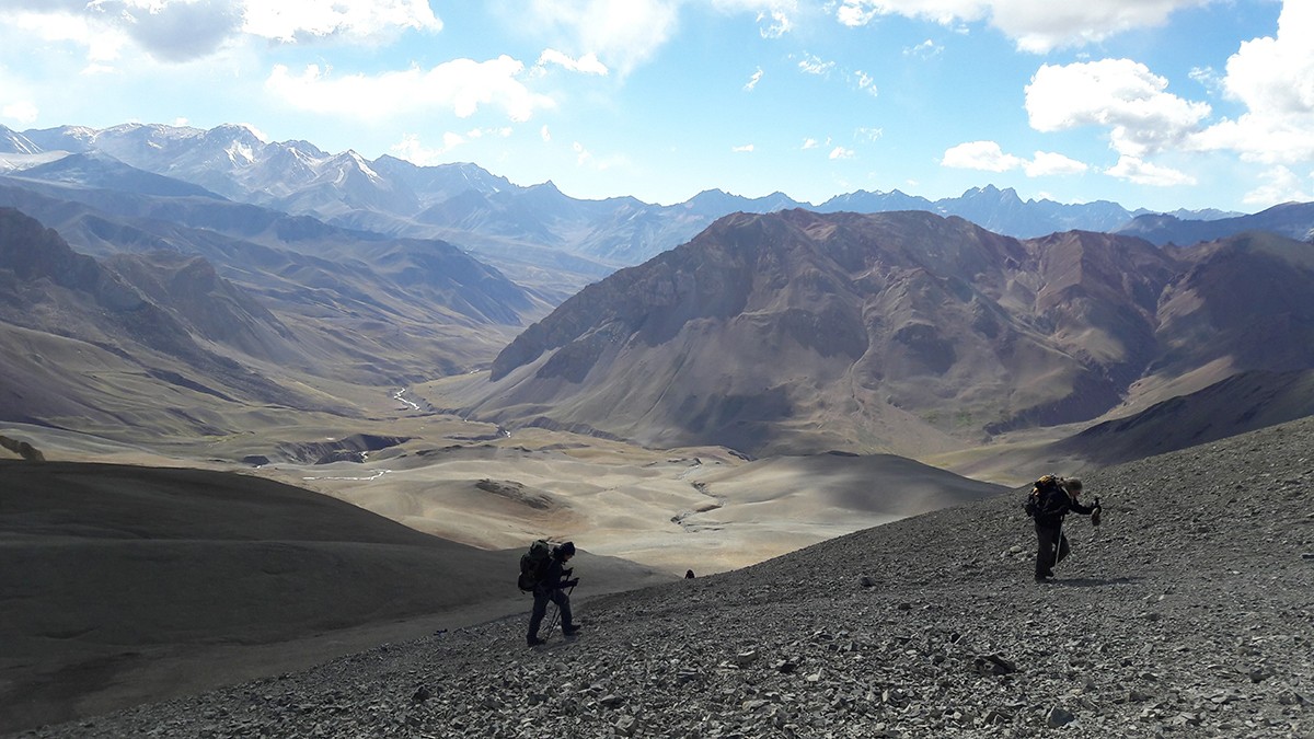
- Region: Cuyo
- Province: Mendoza
- Distance: 85 km
- Type: crossing
- Overall elevation: 1850 m ascent - 1550 m descent
- Starting point and elevation: 2500 (Refugio Portinari - Gendarmería)
- Highest point and elevation: 4350 masl (Paso Portillo)
- Ending point and elevation: 2800 (Termas de Yeso / Plomo, Chile)
- Estimated duration: 7 days
- Difficulty: High
- Difficulty in detail: M3-F4-T2-P3-A3
- Access to starting point: Mendoza city / Ending: Santiago, Chile.
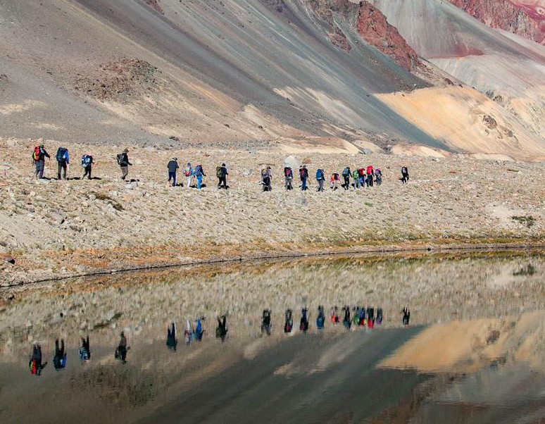
- Region: Cuyo
- Province: Mendoza
- Distance: 60 km
- Type: out-and-back
- Overall elevation: 1450 m ascent - 1450 m descent
- Starting point and elevation: 2200 (Upper Río Atuel - Refugio El Soler)
- Highest point and elevation: 3650 masl (Memorial)
- Ending point and elevation: 2200 (Same as start)
- Estimated duration: 3 days
- Difficulty: Medium-High
- Difficulty in detail: M3-F3-T2-P3-A2
- Access to starting point: El Sosneado.
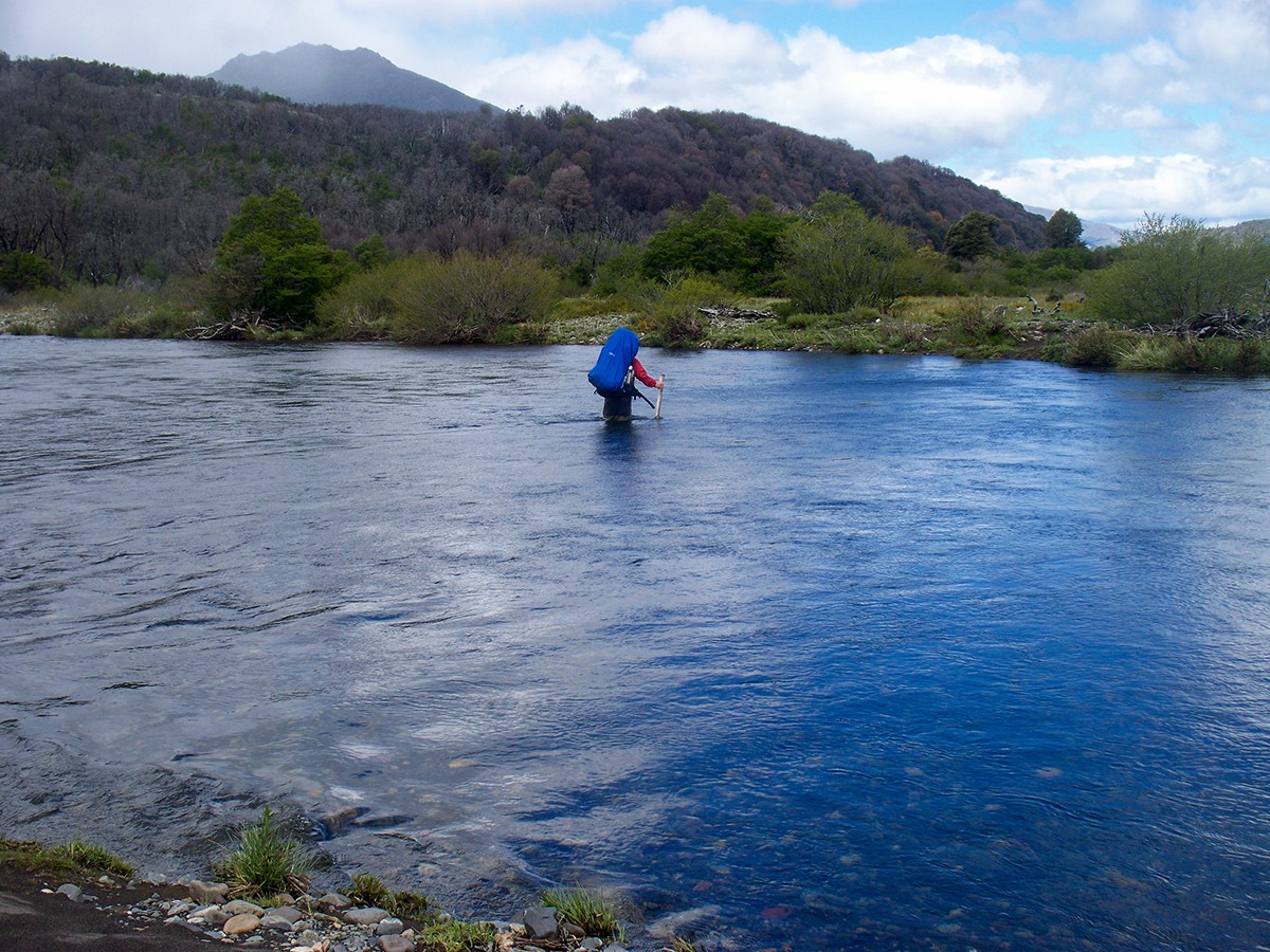
- Region: Northern Patagonia
- Province: Neuquén
- Distance: 70 km
- Type: crossing
- Overall elevation: 1450 m ascent - 1450 m descent
- Starting point and elevation: 900 masl (Río Paimún)
- Highest point and elevation: 1450 masl (Portezuelo Auquinco)
- Ending point and elevation: 650 (Hua Hum)
- Estimated duration: 6 days
- Difficulty: High
- Difficulty in detail: M5-F3-T2-P3-A1
- Access to starting point: San Martín de los Andes
Variants:
- To Puerto Arturo / Waypoints: Same route up to Auquinco / 4 days / Difficulty: Medium / Type: crossing
- To Yuco / Waypoints: Same route up to El Boquete / 5 days / Difficulty: Medium / Type: crossing
- To Quila Quina / Waypoints: Same route up to Hua Hum / 8 days / Difficulty: Medium / Type: crossing.
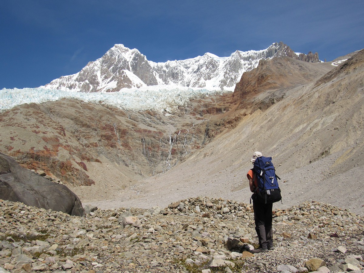
- Region: Southern Patagonia
- Province: Santa Cruz
- Distance: 90 km
- Type: crossing
- Overall elevation: 1150 m ascent - 400 m descent
- Starting point and elevation: 150 masl (Río Pueyrredón)
- Highest point and elevation: 1300 masl (Paso San Lorenzo Este)
- Ending point and elevation: 900 (Perito Moreno National Park)
- Estimated duration: 8 days
- Difficulty: High
- Difficulty in detail: M4-F3-T4-P3-A1
- Access to starting point: Perito Moreno (town).
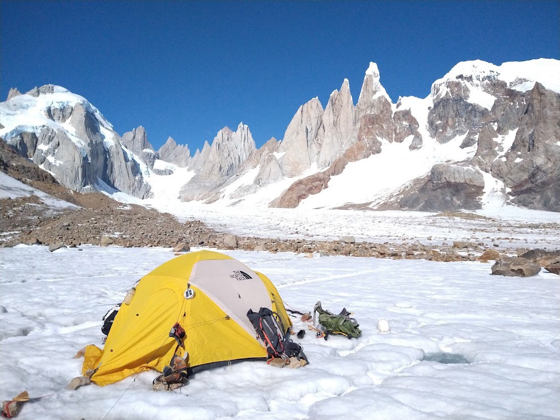
- Region: Southern Patagonia
- Province: Santa Cruz
- Distance: 75 km
- Type: loop / crossing
- Overall elevation: 1000 m ascent - 1000 m descent
- Starting point and elevation: 400 masl (El Chaltén)
- Highest point and elevation: 1400 masl (Paso del Viento)
- Ending point and elevation: 400 (El Chaltén)
- Estimated duration: 6 days
- Difficulty: Very High
- Difficulty in detail: M5-F4-T4-P4-A1
- Access to starting point: El Chaltén
Variants:
- Huemul Loop / Waypoints: Laguna Toro and Paso del Viento / 4 days / Difficulty: Medium / Type: loop
- Poincenot / Laguna Torre - Paso Agachonas - Laguna Toro / Waypoints: Laguna Toro / 5 days / Difficulty: Medium / Type: loop
Other routes in the ranking:
11 - Puelo to Cholila - Chubut
12 - Lago La Plata Loop - Chubut
12 - Nevado del Chañi Loop - Jujuy
13 - The Garden of the Republic - from Tafí to El Siambón - Tucumán
14 - Trekking de las Nubes - Salta
15 - El Balcón de los Seismiles - San Juan
16 - Huella Andina (southern stretches)
17 - Cordillera de Fuego / Valle de Tierra Mayor to Lago Fagnano - Tierra del Fuego
18 - Ambato Crossing (Manchao) - Catamarca