November 10, 2022 · Leandro Alemán Scheurle
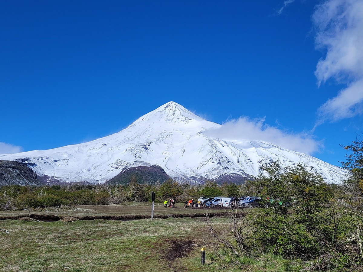
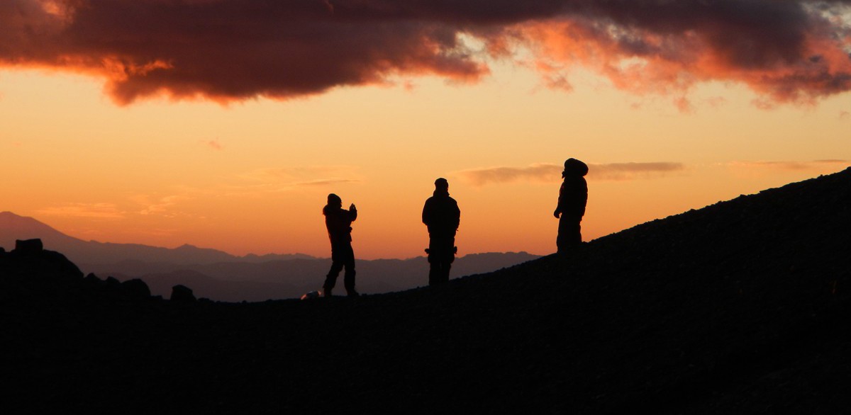
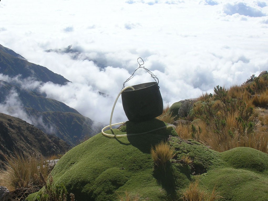
The most demanding, complete and spectacular trek on foot in the Americas is found in northwestern Argentina. It links the provinces of Catamarca and Tucumán by crossing the Nevados de Aconquija. It begins amid the great aridity of the southern puna and ends in the endless thickness of the mountain cloud forest (yunga) of Campo de los Alisos National Park. It reaches a height similar to the summit of Mont Blanc, at 4,850 masl, climbs more than 2,200 meters in elevation gain, and posts the staggering, unmatched figure of 4,100 meters in descent. It ventures into "La Ciudacita," one of the last constructions of the Inca Empire, and finally lifts your body above an astonishing carpet of clouds to the east, which lights up with every unforgettable sunrise.
"If routes through wild mountains, through pure nature, could be counted among the world of art, this would undoubtedly be a treasured work of art."
Included among the 10 Best Trekking Treks in Argentina: CLICK HERE

To speak of Argentina in geographic terms is to speak of Iguazú Falls, the Perito Moreno Glacier, Cerro Aconcagua, Ushuaia, the immense Patagonia, Cerro Fitz Roy and Cerro Torre, Salta and the Quebrada de Humahuaca — almost all of them World Heritage Sites. But the list of wonders in Argentina never ends. The north of the country, far from the famous Patagonia, hides numerous fantastic routes to explore on foot. One of them, the subject of this piece, represents one of the biggest challenges for lovers of great treks anywhere in the world.
The expressive faces, weathered by the sun's rays, are the calling card of the people of Santa María, a historic town in the lower Calchaquí Valley, in the east-central part of Catamarca province. The approach route to the start of the great trek heads south, skirting the western slope of the Nevados de Aconquija. This gigantic mountain range, with peaks exceeding 5,500 masl, stretches more than 400 km. The first camp, and as far as vehicles can reach with a great deal of effort, is the Estancia El Tesoro, at about 2,600 masl, a farmhouse steeped in history. Here we're met by the local guides and mule drivers, who will lead the mules alongside our group. The mules (the animals carrying most of the group's gear) are quite a spectacle in themselves. They accompany us for the entire route. At times you'd think they might plunge off the edge at any moment along the zigzagging, steep trail, but no — they keep on going and cross those heart-stopping ravines as if nothing were happening.
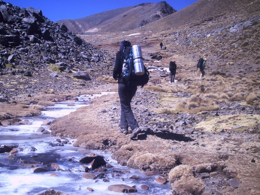
During the first three days, the landscape shines with the dry, raw, challenging terrain of Catamarca's high plains. Rain is almost nonexistent here, and the sun scorches any bit of exposed human skin. And yet, the combination of climatic and geographic extremes, so typical of northern Argentina, captivates everyone present time and again. Tall, sturdy cardón cacti dot ground covered in ancient rocks. The intense colors of the great sandy plain stretching out to the west and fading into the rippling horizon. The high peaks that seem to grow larger as you look at them, as if wanting to sink into that especially clean, admirable sky.
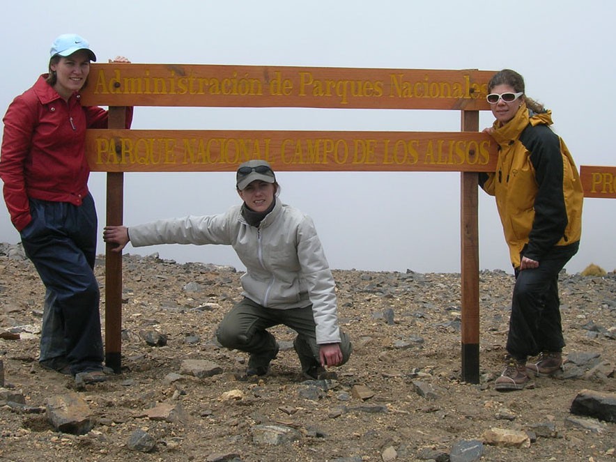
The altitude above sea level makes itself felt. From the 2,600 masl of the estancia, you spend the second night at 3,600 and the next at 4,200. It's very important to keep hydrating constantly; you have to force yourself to drink. From the Pirquitas camp, at 4,200 masl, you still have to climb about 650 meters to reach one of the two passes used: Paso del Inca and Paso de la Yareta, both comfortably above 4,800 masl. Fatigue sets in and the oxygen reaching the brain grows scarcer, but once at the top, the reward is enormous, with breathtaking views on both sides. It's the border between the two provinces, the beginning of Campo de los Alisos National Park, and the challenge of entering a whole new natural world.
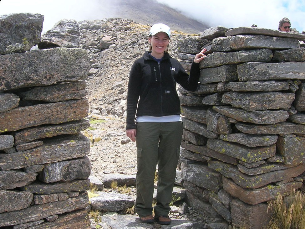
The pass runs between large mountains — Cerro de la Bolsa, El Tipillas, El Clavillo Catamarqueño…until finally the gradual descent begins, a downhill stretch that will last several days, full of great emotions. The first major stop is "La Ciudacita," an Inca marvel dating from the time of the last works built by them, right before the Spanish appeared in the lands of northern Argentina. Located at 4,400 masl, one always wonders how they managed to work and live at that altitude for so long. One of the stone openings facing east is the Puerta del Sol (Gate of the Sun). It's built with millimeter, mathematical precision for the exact sunrise at the summer solstice.
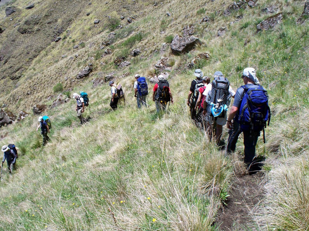
From there the trail now drops steeply toward the east, reaching the La Cueva camp at 3,700 masl (a natural hollow in a large rock that serves as a suitable, comfortable shelter). This leg is the most demanding, where the body takes the full toll. There's no well-marked path. Here the sheer vastness of the slope is overwhelming. It's best to navigate with GPS, especially if clouds have already covered the slope, creating a ghostly mist that raises goosebumps.
The next camp lies 1,100 meters further down, at a spot known as La Cascada. Very close to this rustic shelter, a great waterfall rises up, bringing life to the utter solitude of the surrounding landscape. It's the Jaya River, which stays with us until the end of the trek. At this altitude, the first specimens of Alisos (alder trees) begin to appear, the trees that give the national park its name. And you may very well spot groups of Tarucas, one of Argentina's most emblematic and protected deer species. The vegetation grows thicker and thicker, and little by little the cloud forest makes itself known. The cloud forest is the typical forest and woodland found on the humid slopes of many parts of northern Argentina and Bolivia. Also known as Yunga, it is the country's second most biodiverse environment, after the Misiones rainforest, where rainfall can reach up to 2,000 mm a year.
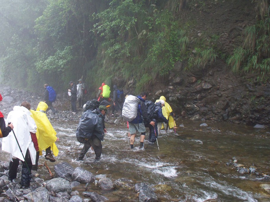
After another staggering 1,000-meter descent, now along muddy trails with several stream crossings, the trail brings us to a magical spot on a wide meadow, where a local park ranger almost always lives. The place is called La Mesada, at 1,600 masl. It's the last night in the park and the last of the trek. All that remains is the final, less steep descent, with 7 river crossings, down to the vehicle road that reaches the confluence of the Jaya and Conventillo rivers, at 750 masl. Here the great adventure ends; here the national park ends and begins (for those arriving from Alpachiri), and here one of the biggest descents in the world, of more than 4,000 meters, comes to a close.
The expectations and hopes of a great trek on foot are already making their way down the paths of the freshest memories. The emotion still beats beneath the skin and in the wild spirit. It's a feeling always so deeply tied to the universe of the inexplicable. That drive to leap into the unknown, toward self-improvement and toward deep inner knowledge. And one fine day, in this so desolate, pristine and wonderful corner of the world, reachable only through sheer physical, technical and mental determination and effort, our souls find themselves walking on the shining, cushioned clouds that protect and adorn the magical Tucumán yunga. And then words simply cease to exist.